
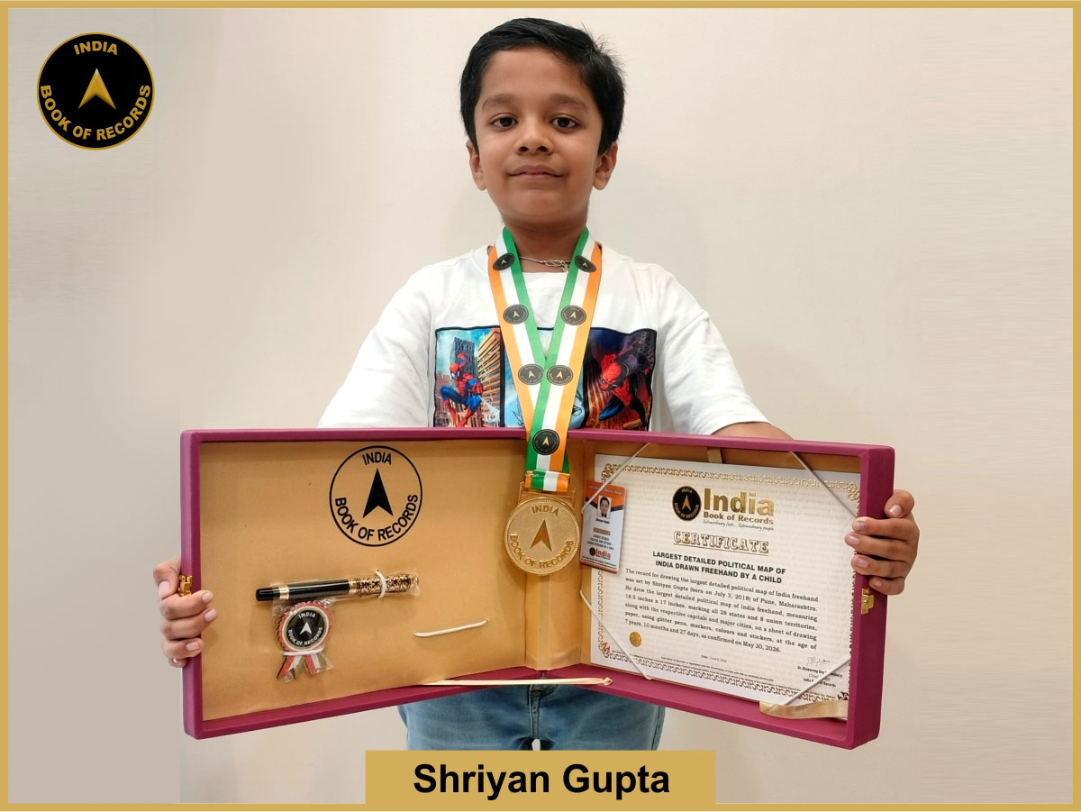
The record for drawing the largest detailed political map of India freehand was set by Shriyan Gupta (born on July 3, 2018) of Pune, Maharashtra. He drew the largest detailed political map of India freehand, measuring 18.5 inches x 17 inches, marking all 28 states and 8 union territories, along with the respective capitals and major cities, on a sheet of drawing paper, using glitter pens, markers, colours and stickers, at the age of 7 years, 10 months and 27 days, as confirmed on May 30, 2026.
