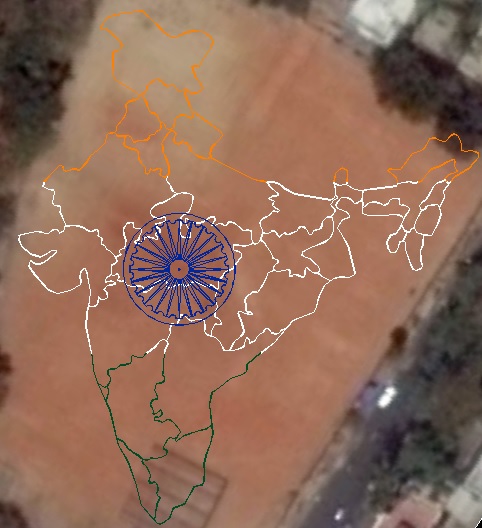
Geometric Technology, Bangalore, Karnataka, along with 30 team members created India Map with the dimensions 384ft X 345ft displaying all state boundaries filled with tri colors, at Balagandadharanath ground, Vijayanagar, Bangalore, on January 26, 2015.